
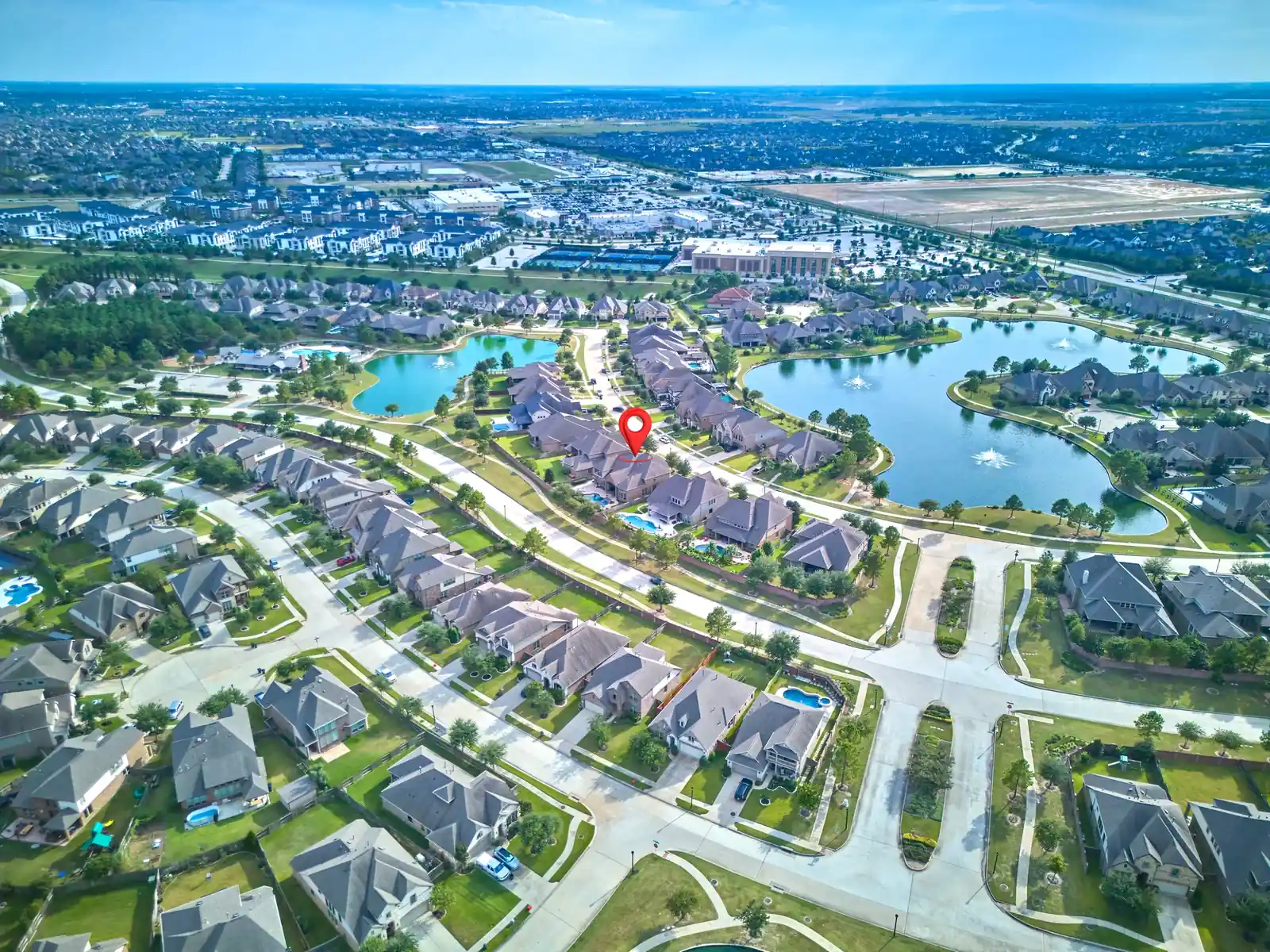
Aerial 360 Panoramas for Houston Properties
One location.Every direction.
The property. The neighborhood.
The whole picture.
A true, interactive 360-degree aerial view of a property and everything around it. Look left, right, up and down to explore the location beyond the listing.
Houston · Cypress · Katy · Bridgeland · Greater Houston
A DIFFERENT PERSPECTIVE. YOURS TO EXPLORE.
Drag or swipe inside the phone to look around.
Open the full 360 view ↗
A photograph shows an angle.
A panorama lets you look around.
PRO360 Photos creates aerial 360 panoramas for real estate listings, land and commercial locations across Houston, Cypress, Bridgeland, Katy, Fulshear, Richmond, Sugar Land, Pearland, Tomball, Spring, The Woodlands, Kingwood, Montgomery and the Cutten Road area. Photographer Mario Gerussi captures an elevated spherical view that viewers can explore in every direction.
A regular drone photograph shows a selected frame. A video follows the camera's route. An aerial 360 panorama gives the viewer control of where to look from one captured viewpoint. See the property, nearby streets, neighbouring homes, green space and the wider setting together.
This is a view captured at the time of the shoot, not a real-time feed. Visible details depend on the location, flight conditions and image resolution.
EXPLORE / TWO LIVE EXAMPLES
Take a look around.
Open either live example below. In the panorama viewer, drag with your mouse or swipe on your phone to change your view. Use the controls to explore fullscreen.
02 / Look around another location
Open live panorama 2 in a new tab ↗A complete look at the setting.
$95One aerial 360 image / location
Drone rates are same-visit add-ons. Drone-only appointments are available by request, starting from $150. Confirm the location, intended use and delivery format with Mario before booking.
Aerial capture depends on safe flying conditions and permitted airspace. Flight position and coverage are planned for each location.
Book this service ↗WHERE IT MAKES A DIFFERENCE
Show buyers where they could belong.
Residential listings
Help buyers understand the property's position within its neighbourhood, with surrounding streets and outdoor features visible from above.
Land and development
Give viewers a broader view of the site, access routes and surrounding landscape. A panorama is visual context, not a survey or boundary verification.
Commercial locations
Show a building's setting, nearby properties and access. Let prospective clients explore the surroundings before a visit.
Aerial 360 questions
What is an aerial 360 panorama?
It is an interactive spherical image captured by drone from an elevated viewpoint. Viewers can rotate the view in every direction to explore a property and its surroundings.
How much does an aerial 360 panorama cost?
One aerial 360 image per location is $95 as a same-visit add-on. Drone-only appointments are available by request, starting from $150.
Is this the same as a Matterport or Zillow 3D tour?
No. Those tours help viewers explore a home's interior. An aerial 360 panorama shows the property and surrounding location from above. The services complement each other. PRO360 Matterport tours include 3 months of hosting, and Zillow 3D tours include an interactive floor plan.
Can viewers use a phone?
Yes. The live examples can be explored in a mobile browser by swiping to look around, or with a mouse on desktop.
Can I share it with buyers?
Yes. Discuss a shareable viewer link and website embedding with Mario. Confirm any MLS or brokerage requirements before publishing.